Apps for EV charging only help while the phone still works. In the Phoenix area, heat can cook a phone on the dash. Haboob dust can kill signal on the shoulder too. Check the maps while you still have range and a working screen. Then save a number that doesn’t depend on a pin being right.
Heat and dust hit the phone before they hit the pack
Phoenix averages about 111 days a year at or above 100F. About 21 of those days hit 110F or more. That’s NOAA 1991-2020 normals via NWS Phoenix. July highs average near 107F. August sits near 105F. Overnight summer lows stay in the mid-80s. A phone in a hot cabin doesn’t cool off overnight either.
Monsoon season runs June 15 to September 30. Haboobs can drop visibility to near zero. Don’t wait until you’re already stopped on I-10 to open a map. A Loop 202 shoulder in a dust wall is a bad place to hunt. Do the map work before you leave.
Arizona has no toll roads and no toll express lanes. ADOT confirmed that. SB 1340 bars the state from adding them without a new legislative vote. Scam texts about unpaid Arizona tolls are scams. You don’t need a toll app here. You do need charging apps that still work after a 107F day.
Pins assume range the heat already spent
Charging apps plot stalls. They don’t always budget Valley heat the way your pack feels it. AAA’s 2026 study found about a 10% efficiency drop at 95F versus 75F. Range fell about 8.5% in that same comparison. A 250-mile car did just under 230 miles.
Recurrent reports EVs can lose 20 to 30% of range above about 95F. Loss sits near 31% at 100F in that work. The dataset included 345,622 trips by 300 Phoenix-area EVs. NREL names cabin cooling as one of the biggest extra draws. tesla.com wasn’t fetchable for a maker range figure, so we won’t invent one.
That leftover-range problem shows up on Loop 101 Agua Fria. It hits Glendale, Arizona hops too. Phoenix sits about 1,135 feet at Sky Harbor. Northbound I-17 reaches Anthem at about 1,860 feet. New River is about 2,140. Black Canyon City is about 2,000. ADOT posts a 6% maximum grade on that northern climb. SR-87, the Beeline toward Payson, posts a 7% grade into Slate Creek Canyon. US-60 east is the Superstition Freeway through Apache Junction.
A pin can look easy in central Phoenix. On those grades it can sit past leftover energy. If you’re already watching the percent drop, read EV running low in Phoenix heat. For the I-17 run, use out of charge on I-17. For the Beeline, use out of charge on the Beeline.
Let the car’s own app go first
Start with the vehicle maker’s app, not a leftover map from last year’s trip. That app talks to your pack. It can route from the charge you actually have. A third-party map only knows where stalls sit. It doesn’t know what your car can reach after a 107F afternoon.
We won’t name a maker’s app or list its current screens. Feature sets change with software updates. Confirm what yours does in the owner’s manual. The maker’s site or a dealer desk can confirm it too.
Use the suggested stop as a draft route. Confirm the stall before you burn the last miles. The app can point you at a listed site. It can’t confirm that a given plug is free when you arrive. It also can’t confirm the plug is working.
This gap is smaller on a Tempe to Mesa hop along Loop 202. It’s larger once you’re committed to the I-17 climb past Anthem. It’s also larger on the Beeline toward Fountain Hills. The car app is a starting point, not a guarantee the stall will start.
Then ask the networks that own the plugs
After the car’s app, open the networks that run public equipment. Most publish their own app or a station page. That’s usually the freshest status for their own hardware.
One network app only sees its own stalls. The Phoenix area mixes networks on the same corridor. APS and SRP even split some cities block by block. Confirm your own address.
APS serves large parts of Phoenix, plus Surprise, Goodyear, Buckeye, and Queen Creek. SRP serves much of Mesa and shares East Valley cities. Mesa Municipal Electric covers about 5.5 square miles around downtown Mesa. ED3 serves Maricopa, the city in Pinal County. ED2 serves Casa Grande, Coolidge, and Florence. Those utilities set home rates and named EV programs. They don’t tell you if a public stall will start a session.
Check two or three network apps before a longer drive. Don’t rely on the one you already have from habit. If you need what a network currently supports, use that network’s own site.
For a wider inventory, the DOE Alternative Fuels Data Center keeps a station locator. It’s reported infrastructure, not live occupancy. Use it to see what’s been listed. Don’t treat it as a free-stall feed.
Named stalls you can cite include Phoenix Sky Harbor. Level 2 charging is confirmed in the Terminal 3 garage. Terminal 4 and the 24th St. station have it too. EVPassport installed that hardware in 2022. An app can still show those pins. It can’t wake a cooked 12-volt after a week in the lot.
Crowd notes are one visit, not a live feed
Aggregator maps pull several networks into one view. Some add driver notes about a stall that worked last week. Those notes can show options a single network hid.
A pin still isn’t a promise. A listed stall can be broken, occupied, or taken offline. A three-week-old comment is one driver’s one visit. That’s how listings work when someone else owns the hardware.
For metro context, use the Phoenix area EV charging hub with those maps. A national default view misses Valley grades and monsoon dust. It also misses the APS and SRP split. Event nights at Chase Field cook a parked pack. So do Mortgage Matchup Center and State Farm Stadium in Glendale, Arizona. The app that got you there may not get you home.
State crews will jump a gas car, not charge an EV
Charging apps find stations. They don’t rescue a dead session. They also don’t jump a 12-volt. Save a plan for that outcome before you need it.
Arizona DPS Roadside Motorist Assistance will change a tire. It can bring gasoline or diesel. It can jump-start a conventional battery. Its published materials don’t mention EV charging. ADOT’s Incident Response Unit works Phoenix-area freeways from 5am to 8pm weekdays. It also doesn’t advertise bringing a charge.
If you’re on I-10 or I-17, those crews can still help with a tire. Loop 101 and Loop 202 are the same story. They won’t add 10 to 20 miles to an empty EV. An independent operator does that.
ARS 28-871 says get off the traveled lanes when you can. A disabled vehicle that can’t move is exempt. Leave room for traffic and stay visible 200 feet each way. ARS 28-775 is Arizona’s Move Over law. Other drivers should change lanes or slow for warning lights.
A dead 12-volt is a different failure than an empty pack. The small battery runs locks, screens, and the contactor that wakes the traction pack. Apps that show nearby stalls don’t help until the 12-volt can close those contactors. See delivery van EV died at Sky Harbor for that pattern.
When the maps run out, stop driving
Sometimes every app agrees: nothing you can actually reach looks working. Checking a fourth map won’t create energy you don’t have. That’s when planning has run out. Don’t keep rolling on a shrinking percent hoping the next pin is real.
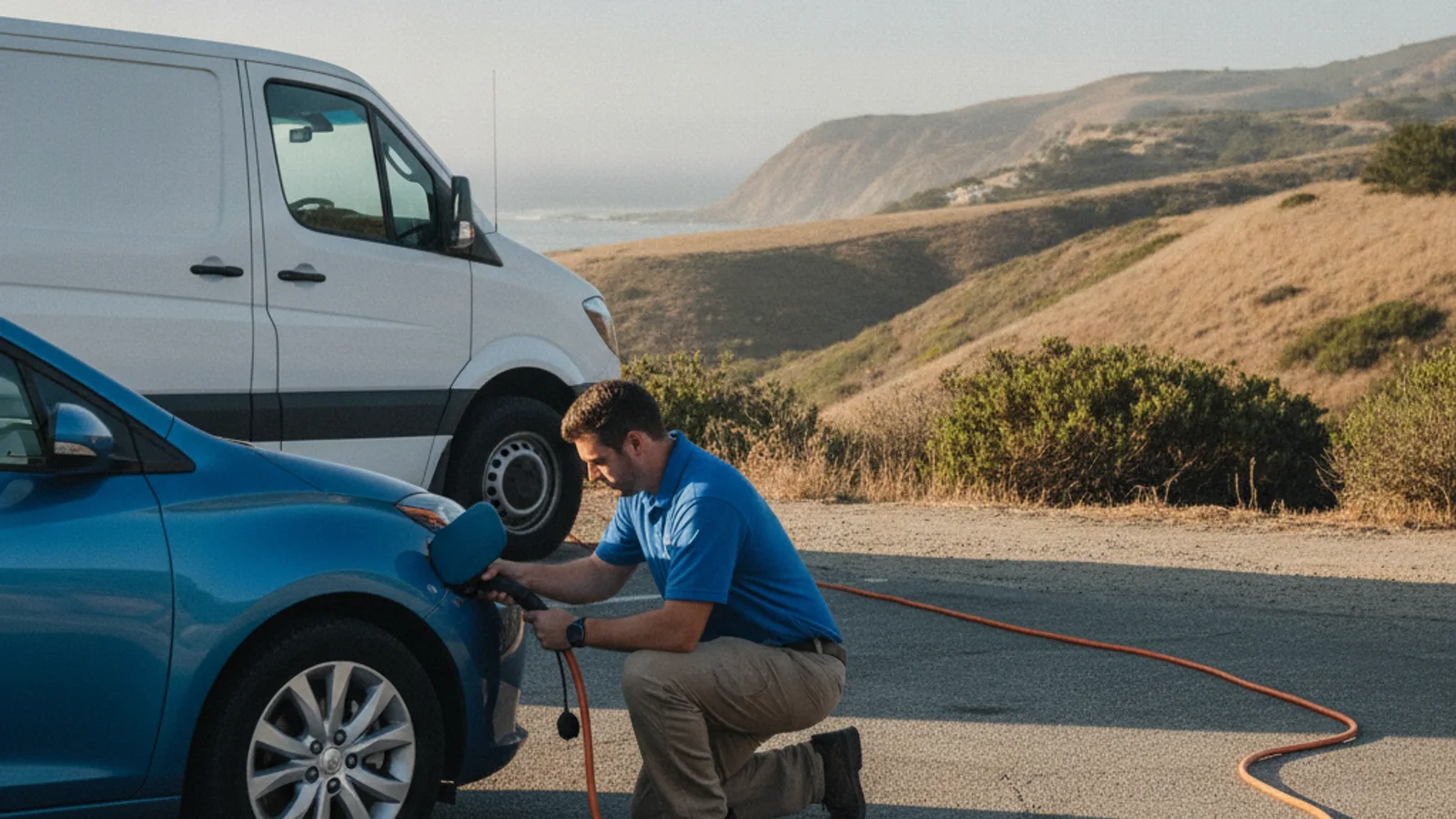
If you can get off the traveled lanes, do that first. Mobile EV charging sends an independent operator to a car that’s parked safely. The pros we connect you with are licensed and insured. They bring a 240V Level 2 source to the car. Native NACS covers Tesla plugs. CCS or J1772 adapters cover other major EV brands. They typically add 10 to 20 miles in 15 to 30 minutes of charging. That’s charging time, never an arrival time.
Charge Pro PHX is a referral line. We don’t own trucks. The operator quotes you before starting and bills you directly. If the pack is already at zero, ask about out-of-charge recovery. The operator looks at the car and the spot, then picks what fits.
If the maps are done and the pack is critical, call (602) 932-0920. We’ll match you with an independent local operator.